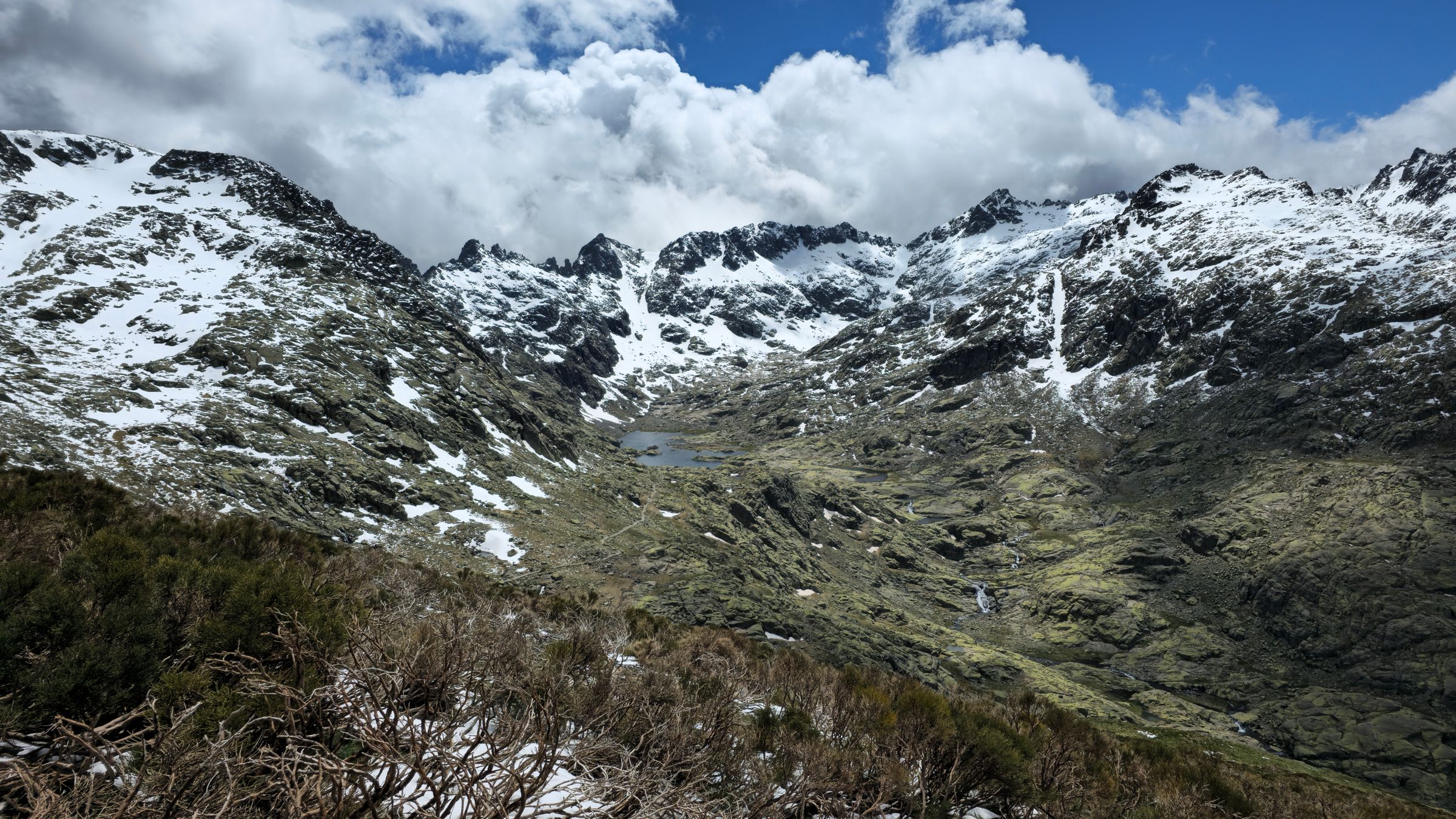
Africa’s natural heritage runs far deeper than the postcard image of acacia trees and open savannah, and how the public understands what the continent holds shapes how these places are valued and protected. From equatorial glaciers to inland deltas and fog-bound coasts, eight landscapes reveal a side of Africa shaped by tectonic forces, volcanic activity, altitude and the unpredictable movement of water, yet rarely seen in the popular imagination of an African adventure.
Consider the Rwenzori Mountains, straddling the border between Uganda and the Democratic Republic of the Congo. Known as the Mountains of the Moon, the range reaches 5,109 metres at Mount Stanley’s Margherita Peak, the continent’s third-highest summit. Its upper slopes hold glaciers, waterfalls, lakes and unusual vegetation, a striking sight so close to the equator. Lower slopes give way to montane forest, bamboo and dense undergrowth, then heathland and high-altitude moorland, where giant groundsels and lobelias rise through the mist. The Rwenzori Mountains National Park protects much of the Ugandan range and holds UNESCO World Heritage status, making its flora and habitats important for conservation as well as trekking. Those who take on its steep terrain and rapidly changing weather find mountain lakes, cloud forests and the rare experience of ice in equatorial Africa.
In Namibia’s Namib-Naukluft region, Deadvlei tells a story of environmental change written in clay and wood. A white pan ringed by towering orange dunes holds the blackened skeletons of camel-thorn trees that died after shifting dunes blocked the Tsauchab River, cutting off their water. The extreme dryness prevented decomposition, so many trees have stood for centuries. Nearby Sossusvlei is famous for its enormous dunes, whose colours shift with the light, while Deadvlei offers a more minimalist scene. Photographers favour early morning and late afternoon, but the hot, sandy walk demands water and protection from intense sun.
Meanwhile, Ethiopia’s Afar region holds two of the continent’s most extraordinary geological sites. In the Danakil Depression, vast salt flats meet volcanic terrain, and at Dallol, mineral-rich hydrothermal formations create patches of yellow, orange, green and white. The region sits where major tectonic systems meet and the Earth’s crust is being pulled apart. The vivid pools are not harmless: their chemistry can be extremely corrosive and the terrain fragile, so travel requires careful planning, reliable local expertise and attention to current safety advice. Salt extraction has long been part of life in the Afar region, with caravans traditionally crossing the terrain, a reminder that these landscapes are tied to local livelihoods as well as geological processes.
Erta Ale, an active shield volcano in the same region, is known for its lava-filled crater and fields of dark volcanic rock. When a lava lake is present, molten rock casts a red glow over the basalt. Volcanic activity changes over time, so a glowing lake should never be assumed, and visitors should seek up-to-date guidance from reputable local operators and follow all safety instructions, especially near the crater. Reaching it can involve remote travel, extreme heat and difficult terrain.
By contrast, Rwanda offers a gentler spectacle in Nyungwe Forest, a vast montane rainforest in the south-west where mist settles among dense vegetation and the forest floor gives way to peat bogs, grasslands and wetlands. One of Africa’s important Afromontane forests, it shelters threatened species including eastern chimpanzees, along with numerous birds. Its slopes and high-altitude wetlands also play a role in the region’s water systems. A canopy walkway suspended above the treetops reveals the forest’s scale, while trails with local guides offer closer encounters with its plants, birds and primates.
In northern Ethiopia, the Simien Mountains rise into jagged peaks, deep valleys and sheer cliffs, some dropping roughly 1,500 metres. Gelada monkeys gather on grassy slopes, the endangered Walia ibex inhabits the cliffs, and the Ethiopian wolf, one of the world’s rarest canids, is associated with the high-altitude grasslands. Simien Mountains National Park, a UNESCO World Heritage site, offers walking routes, though conditions can be cooler than expected and trekking demands preparation for altitude and uneven ground.
Botswana’s Okavango Delta defies expectation in another way: its waters, fed by rainfall in the Angolan highlands, never reach the sea. They fan out across an inland delta, arriving during the dry season and transforming parched land into swamps, floodplains, islands and woodland that sustain elephants, hippos, waterbirds and aquatic species. Visitors can explore by mokoro, boat, on foot or on guided excursions, with experiences varying by water levels.
Finally, on Namibia’s north-western shore, the Skeleton Coast takes its name from shipwreck debris scattered along an inhospitable shoreline, where fog from the Benguela Current sustains desert-adapted elephants, lions and other wildlife. Access varies, and travellers should check entry rules, accommodation and road conditions before setting out.
Together these places show a continent of extremes, where public appreciation and careful stewardship will determine whether such wonders endure for the generations who come after us.